Discover the landscapes that shaped the first megalithic traditions.
An interactive atlas to explore the ancient world for yourself - now in development.
Discover the landscapes that shaped the first megalithic traditions.
An interactive atlas to explore the ancient world for yourself - now in development.
What did the world look like when the first megaliths were built? Who were the people who raised them? and why?
The Megalithic Heritage Atlas takes you back thousands of years, to a continent emerging from the last Ice Age. Explore a changing continent of lost lands, vanished coastlines, ancient forests, rivers and lakes, and follow the transformation from hunter-gatherer societies to the first farming communities and the builders of megalithic monuments.
More than 35,000 megalithic monuments are known across Europe alone. Many more exist in the world. Yet their origins, connections and meaning remain one of archaeology's enduring mysteries.
Where did the tradition begin? How did it spread across the European continent and beyond? And what connects megaliths built thousands of kilometres apart?
The atlas brings together different pieces of the puzzle:
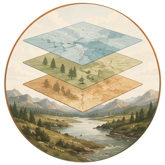
Geology, coastlines, rivers and lost lands such as Doggerland.
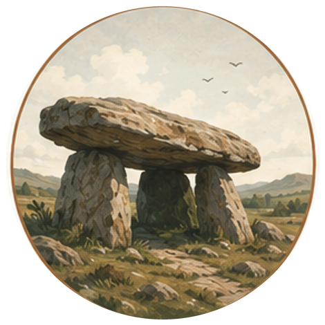
Their locations, ages and architectural traditions.
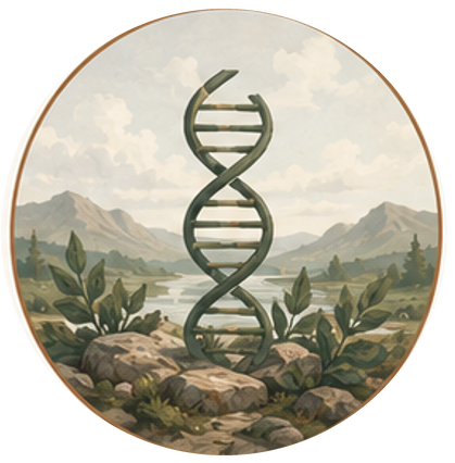
Archaeology, ancient DNA and changing populations.
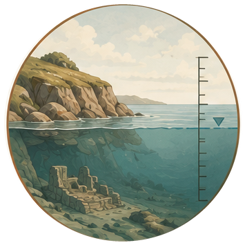
Climate change, floods, tsunamis and volcanic events.
By placing these datasets on the same map, the Megalithic Heritage Atlas reveals connections that are difficult to see when each story is studied on its own.
This is more than a map of ancient monuments. It is an invitation to explore the ancient world in which they were built and to discover how landscape, people and climate shaped one another.
The journey is about to begin.
Interested in partnering with us, or want to contribute to the atlas? Get in touch — we'd love to hear from you.
Sign up for the mailinglist and be the first to hear when the new digital atlas is ready!